


Park Paths
The following is a list of parks along with the distances of their trails.
| Park Name | Location | Distance (mi.) | Trail Maps |
|---|---|---|---|
| Atten Park* | 1720 S. Wiesbrook Rd., Wheaton, IL 60189 |
1.1 | Map (PDF) |
| Briar Patch Park | 1700 Briarcliffe Blvd., Wheaton, IL 60189 |
0.67 | Map (PDF) |
| Central Park | 600 S Main St., Wheaton, IL 60187 |
0.52 | Map (PDF) |
| Graf Park | 1855 Manchester Rd., Wheaton, IL 60187 |
0.92 | Map (PDF) |
| Kelly Park | 1100 S. Main St., Wheaton, IL 60189 |
1.2 | Map (PDF) |
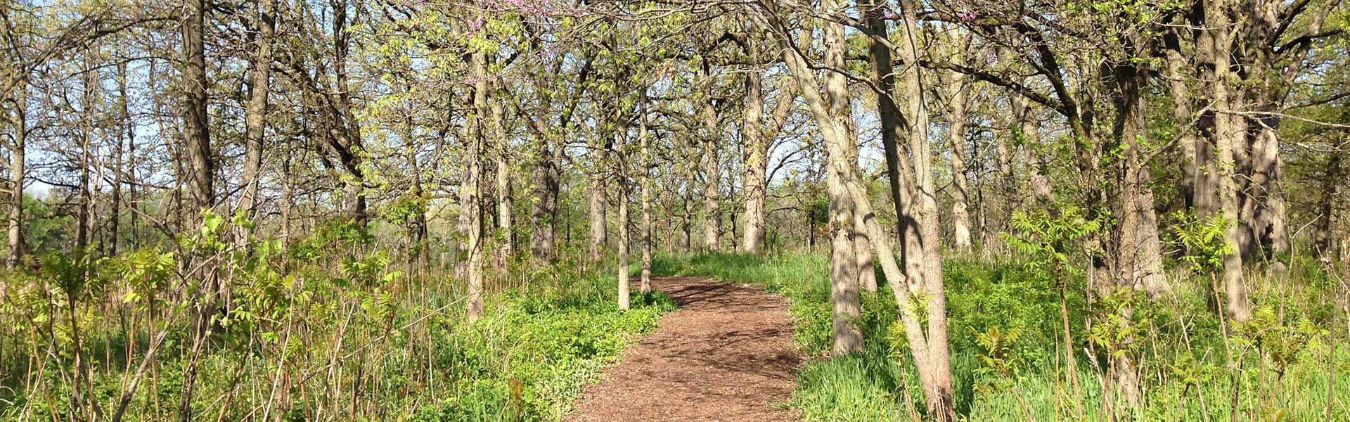
| Lincoln Marsh Natural Area | Main Entrance: Harrison Ave & Pierce Ave, Wheaton, IL East Entrance: 1000 W Lincoln Ave, Wheaton, IL |
2+ | Location & Trail Map |
| Northside Park** | 1300 N. West St., Wheaton, IL 60187 |
1.3 | Map (PDF) |
| Seven Gables Park | 1750 S. Naperville Rd., Wheaton, IL 60189 |
2.12 | Map (PDF) |
All of the park trails listed above are suitable for bike riding.
*Trail runs adjacent to Prairie Path
**Plans to create trail linking to Prairie Path